
By EuroScientist Editor
•
07 Sep, 2023
Hydrogen fuel can be made from wood waste in a clean and cost-efficient way at heat and power plants – and its developers hope it could change the narrative around this sometimes-controversial solution. By Steve Gillman & Fintan Burke The costs of scaling up hydrogen power, along with the potential amount of energy and natural resources to produce it, have seen this fuel source face increased scrutiny as a solution against climate change. “The majority of our electricity and hydrogen is produced from fossil fuels. This, of course, is not sustainable as it contributes to climate change,” said Michael Bartlett, a founder of Phoenix Biopower, a company that turns natural waste into combustible gas, like hydrogen. As part of a research project called Bio-FlexGen, Bartlett is developing ‘green hydrogen’ from biomass waste from the forestry sector. “Our ultimate goal is to provide a secure, renewable and low-cost energy for society and industry,” he adds. Bio-FlexGen, and its multidisciplinary team of 14 partners from five EU countries, aim to provide the technology for combined heat and power plants (CHP) that can also generate a supply of green hydrogen in addition to usual outputs of electricity and heat. To make green hydrogen, Bio-FlexGen will use a combination of two main technologies – a gas turbine and a gasifier. First, waste biomass is added in a gasifier at pressure and heated up to 850 Celsius – a temperature so hot that it releases other gases, mainly hydrogen, methane, and carbon monoxide. The next step sees water and steam added to cool before it passes through a cleaning filter. “Once we have cleaned up the gases from the gasifier, we can either send it to the gas turbine for combustion and electricity generation or to a hydrogen production unit,” said Bartlett, adding that this process gives “enormous power” and efficiency to the CHP plant. The high temperatures of this process, over 1400 Celsius in the gas turbine combustor, also result in greater power generation. To ensure a high efficiency, the system is designed to gather waste heat and recycle it back into the gas turbine in the form of hot steam. This, Bartlett says, can result in double the electricity output that is typical for a given amount of biomass. The new approach means the CHP plant then has three modes of operation; 1/ produce heat and electricity efficiently from biomass in the winter 2/, produce green hydrogen and biogenic CO2 from biomass in the summer 3/ utilise hydrogen in the gas turbine for peak power. This flexibility means it can help keep costs low and stable and complements the hourly, weekly and seasonal variability of solar and wind power. Converting critics and pushing EU hydrogen plans ahead Bio-FlexGen’s systematic approach to incorporating green hydrogen could go a long way in negating the main arguments against this renewable energy, primarily the amount of natural resources it requires for its production. According to Rystad Energy, 620 million cubic meters of water are needed to produce 85% of the green hydrogen capacity planned for 2040. However, environmental groups like Greenpeace argue that renewable power alone is not enough to produce the needed amount of green hydrogen. If anything, they claim this may end up increasing fossil fuel demand. But Bio-FlexGen’s green hydrogen production utilises oxygen to drive the gasification process, itself a by-product of green hydrogen production from wind and solar power. “The main advantage of getting hydrogen from biomass compared to wind or solar is that it has less variability and is not dependent on electricity price,” said Bartlett. “It also requires less H2 storage (you store biomass instead) for when the wind doesn't blow.” When producing electricity from biomass in the CHP plant, a lot of steam is needed in the gas turbine for the best effect. In fact, 50% of the exhaust is just water vapour. This water is recovered, treated and recycled back to this process, and an excess of clean water can even be produced for other consumers. When this water is recovered, it also generates large amounts of heat, which the project can use further in district heating networks or other processes. In this way all the energy in the biomass is efficiently used. “We are working very hard to ensure that we are part of a circular biomass utilisation and that we are using hydrogen in the safest possible way,” explains Bartlett, adding that the project will make a “significant contribution to the decarbonisation of the energy system”. The first commercial plant using Bio-FlexGen’s approach is planned for 2030, in which the power plant will operate on biomass in the winter months and use 100% green hydrogen in the summer months, therefore displacing demand for fossil fuels in peak periods – a goal increasingly shared by EU policymakers. Following the war in Ukraine, and the embargo on Russian oil imports into the EU, the European Commission outlined a ‘Hydrogen Accelerator' concept to scale up renewable hydrogen deployment. This ‘REPowerEU Plan’ wants the EU to produce 10 million tonnes of renewable hydrogen by 2030, with the Commission recently proposing criteria that Member States can follow to ensure they produce green hydrogen, including that it only be produced when and where sufficient renewable energy is available. As BioFlexGen’s power plant will operate with up to 100% green hydrogen from solar and wind, with an optimised combination of bioenergy, it is already on course to meet these criteria. Bartlett also believes that the project has brought together “amazing, competent people” that can play a key role in developing green hydrogen further.

By EuroScientist Editor
•
07 Sep, 2023
Author: Jane Marsh Scientists are researching a theory known as positive climate tipping points. While most people talking about tipping points concentrate on their negative consequences, such as irreparable harm to ecosystems, positive tipping points provide a ray of hope. These points may result in favorable and constructive changes to our planet's climate system as the effects of climate change continue. Learn more about the idea of positive climate tipping points, consider their possible advantages and discuss their significance in understanding and tackling the problems caused by climate change. Understanding Tipping Points To fully understand positive climate tipping points, it is essential first to understand what tipping points are. Tipping points are key thresholds in a complex system where a minor change can cause significant and sometimes irreversible changes in the system's behavior. Harmful climate change tipping points may be the first type that comes to mind. These relate to occurrences like the melting of significant ice sheets or the disruption of essential ocean currents, which can have quick and harmful repercussions. However, there are also positive tipping points that may shape the future climate. Positive Climate Tipping Points Unlike negative climate tipping points, positive ones can increase ecosystem resilience and bring about encouraging changes. These turning points take place when certain environmental activities or changes trigger self-reinforcing mechanisms that improve the earth's capacity to absorb carbon dioxide, lower greenhouse gas emissions or support the preservation of vital habitats. Forest preservation and restoration is one illustration of a favorable climate tipping point. As forests grow and recover, they sequester a greater amount of carbon dioxide, which lowers the levels of greenhouse gases in the atmosphere. This process creates a positive feedback loop that encourages greater forest development and improves the ability of these ecosystems to control the temperature. Relevance and Implications of Positive Tipping Points Positive climatic tipping points must be recognized and utilized for mitigation and adaptation initiatives to succeed. Scientists and decision-makers can create targeted interventions to improve the planet's resilience and lessen the effects of climate change by identifying and utilizing these tipping points. Climate tipping points can also encourage and inspire group action. They provide concrete instances of how individual and group activities, such as reforestation programs, sustainable land management techniques and ecosystem restoration projects, can significantly contribute to the fight against climate change. The general public may take inspiration in carrying out sustainable behaviors or supporting laws that help effect positive change. Emphasizing these positive tipping points' potential advantages and ripple effects encourages individuals at all levels. While positive climate tipping points have great potential, it is important to recognize that our understanding of them is still developing. Further research is necessary. These tipping points require identification, monitoring and measurement, which demands continual study and scientific cooperation. Scientists use advanced modeling approaches and thorough data analysis to find potential positive tipping points across different ecosystems. Researchers are also looking into how positive and negative tipping points are connected. Scientists can create comprehensive plans to negotiate the intricacies of climate change and maximize beneficial results by thoroughly comprehending the relationships between these tipping points. Positive Climate Tipping Points Could Be a Game-Changer Positive climate tipping points demonstrate optimism in the fight against climate change. If people locate and utilize these tipping points, we may be able to develop self-reinforcing mechanisms that positively affect our planet's climate system. Scientists, decision-makers and people can take proactive measures in climate change prevention and adaptation by comprehending the significance of positive tipping points and their potential ramifications. The complexity of positive climate tipping points must be further understood through ongoing research and monitoring projects to successfully navigate the challenges of climate change and create a more resilient and sustainable future.
By EuroScientist Editor
•
18 Jul, 2023
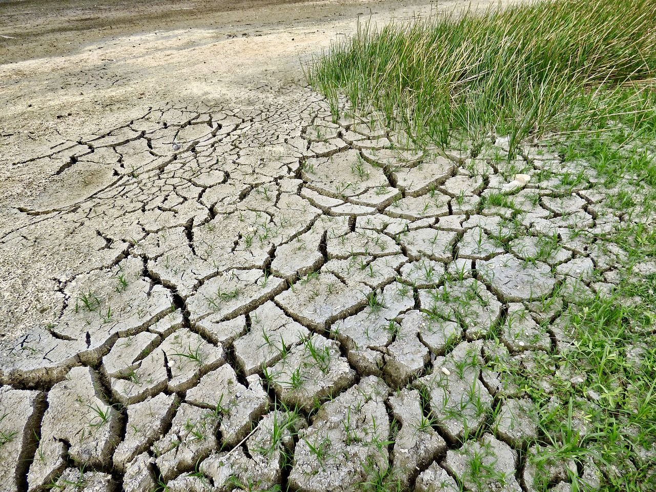
It’s no secret that the planet is getting warmer, but July 2023 saw record-high temperatures that really turned heads. 2023 is an El Niño year — in addition to human-caused climate change, the Earth is undergoing an expected cycle of exceptionally warm weather that occurs every few years.
This double whammy has many people reaching for their water bottles and cranking up the AC. Why are scientists so worried about the heat?

By EuroScientist Editor
•
03 Jul, 2023
Hydrogen fuel cells have garnered a lot of attention recently. As the global conversation shifts to emissions-free energy, many people want to know how fuel cells work, whether they could replace internal combustion engines someday and if they can power homes. Here are answers to common questions about the technology.

By EuroScientist Editor
•
26 Jun, 2023
Refined predictions, accurate prescriptions, supported physicians, reduced disease chance and increased intervention opportunities are all benefits of precision medicine. It improves health care for patients and professionals through proactive and predictive measures.

By EuroScientist Editor
•
08 May, 2023
If there’s one thing that concerns me most about the impacts of the climate crisis in the Netherlands, it’s water. Melting ice caps and increasing sea levels mean we have to keep our dikes up to our safety standards, and increased rainfall is also threatening urban environments with flooding. On the other extreme, droughts and heatwaves make water scarce at certain times of the year, threatening nature and human health across the country.

By EuroScientist Editor
•
02 May, 2023
Think going barefoot indoors is for the posh? Think again — wearing your outdoor shoes in the house may expose you to harmful bacteria, chemicals and allergens.
Although wearing shoes inside is common in the United Kingdom, there are plenty of good reasons to rethink the habit.

By EuroScientist Editor
•
23 Apr, 2023
Science communication is the act of translating complex scientific concepts into everyday language, making it easier for the public to understand and engage with scientific research. Effective science communication is crucial because it shapes public opinion and influences policy decisions that can have significant implications for society.

